Mount Hill and the Hopetoun Monument
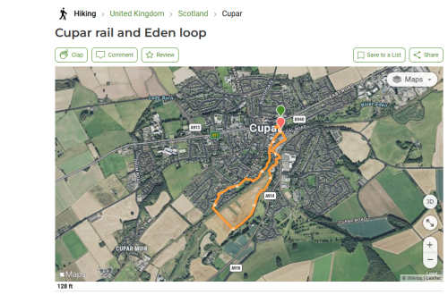
Went on a walk today which I have been wanting to do since we moved to Cupar. From our house it is a seriously long walk (about nine miles there and back), but today we were able to go part of the way by car with a friend I met at the Local History group and her dalmatian (and J).
After a brief detour due to the fact that Google thought the A913 was closed, we found the footpath. From the A913 you turn right onto a small road, and then right again onto an even smaller one. The instructions on the Walk Highlands website says “parking for one car under a big tree” and that was what we did, but in fact there are several places you can park along that stretch if you are careful, including one at the gate near where you will see the first sign to the monument. This is the road between the “big tree” mentioned and the path.
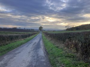
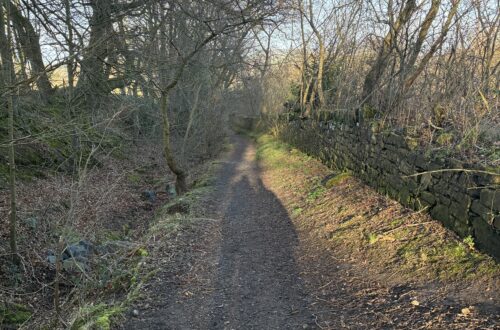
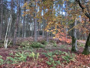
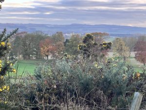
After that the path is fairly rough and boggy in places. It was a beautiful day for November and there were great views. The Fife countryside is not much hillier than North Norfolk – certainly the “hills” here are nothing like in Argyll.
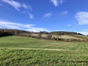
After a while the path divides – it is not signposted here but the correct way is to the left. The path gets steeper and you start to see the monument itself.
J was puffing and blowing a bit by this point – he is always like this at the start of walks (he was nearly every day on the Camino) but he kept going. I was not out of breath as I am reasonably fit – I had to watch myself on this path though because it was rough and a bit slippy – just the sort of surface my foot does not do well on. I should have brought my walking pole.
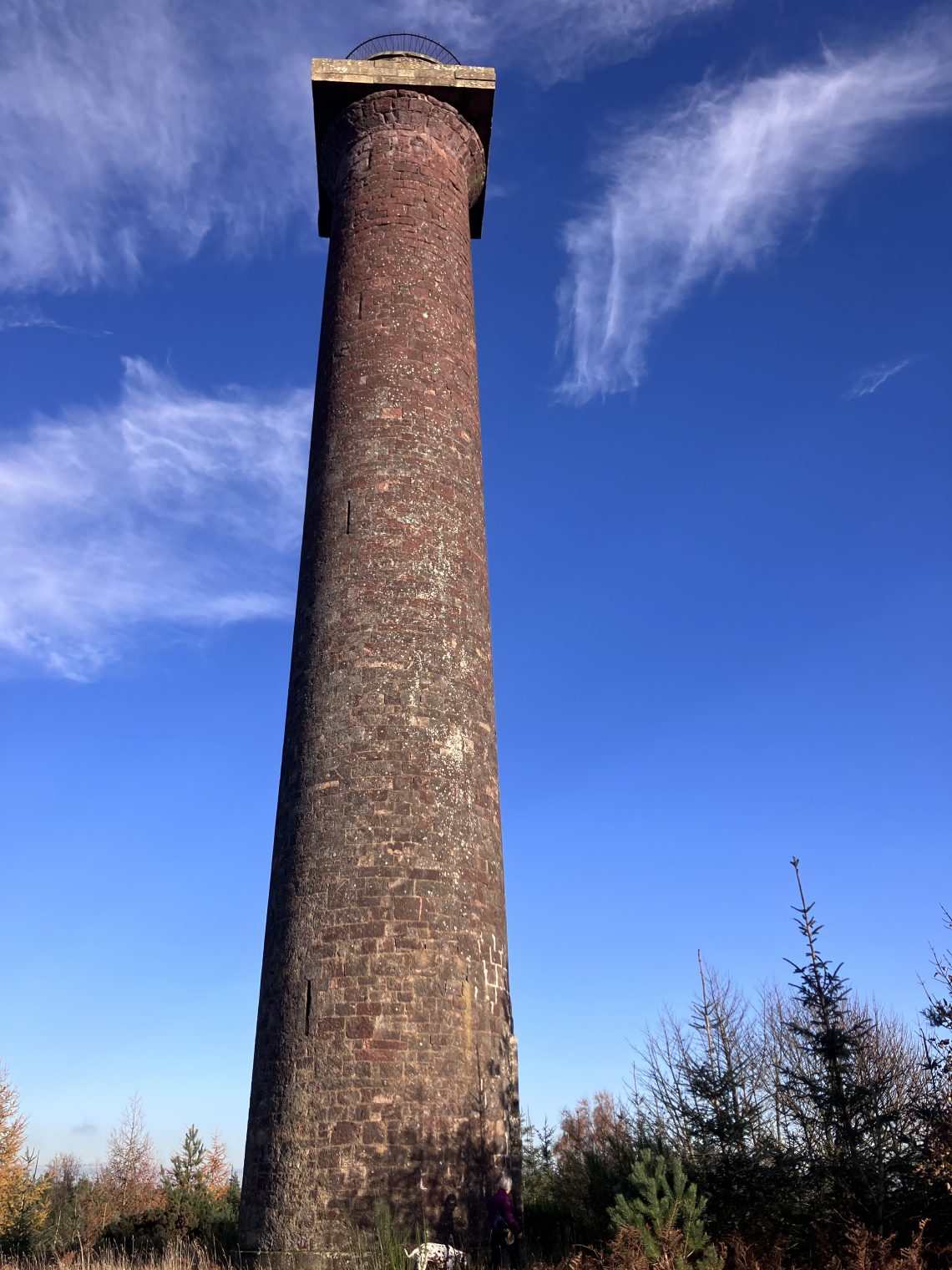
Anyway, we got to the summit which is 222m high (more than twice as high as the highest point in Norfolk) and saw the monument itself. It reminds me of Dixon’s chimney in Carlisle (though that is actually three times taller than the monument).

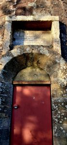
Sadly it was locked (why are these things always locked). There is an inscription over the door. “To the memory of John, Fourth Earl of Hopetoun who died 26th August 1823”. The monument was erected the following year.
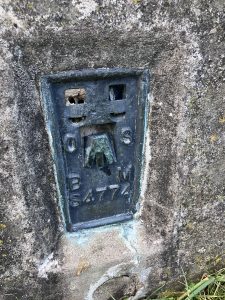
We also found an ordnance survey trig point – complete with a metal plate identifying that it is point S4774. The metal hole in the top was used for the surveyor to mount his theodolite.
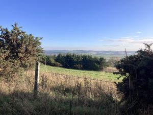
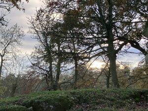
There were some lovely views on the way down. It was slippy and again I regretted not bringing my pole.
When we got to the bottom, the only one not a bit tired was this gentleman.

So a nice walk but my thought is that it is not one for straight from our house because at least three quarters would just be walking down unremarkable roads. Bike would probably be best considering the lack of parking.